
Garmin BlueChart G3 Vision VAF453S Indian Ocean Charts
R5,499
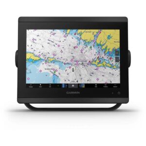
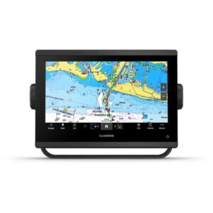
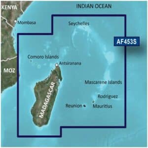
The Garmin BlueChart g3 Vision VAF453S Indian Ocean Charts provide premium navigation across the Indian Ocean, Mascarene Plateau and Madagascar. These charts combine official and private sources for accurate navigational aids, spot soundings, depth contours, tides and currents, and detailed harbors and marinas.
Description
Garmin BlueChart G3 Vision VAF453S Indian Ocean Charts
The Garmin BlueChart g3 Vision VAF453S Indian Ocean Charts provide premium navigation across the Indian Ocean, Mascarene Plateau and Madagascar. These charts combine official and private sources for accurate navigational aids, spot soundings, depth contours, tides and currents, and detailed harbors and marinas.
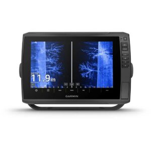
These charts offer advanced situational awareness with high-resolution relief shading, unique 3-D views such as MarinerEye and FishEye, high-resolution satellite imagery, and aerial photography. MarinerEye delivers a 3-D perspective of the ocean floor from below the waterline, while FishEye provides a 3-D view both above and below the water, giving mariners a comprehensive understanding of their surroundings. Satellite imagery and aerial photography highlight ports, marinas, bridges, and navigational landmarks, ensuring confident navigation in unfamiliar waters.
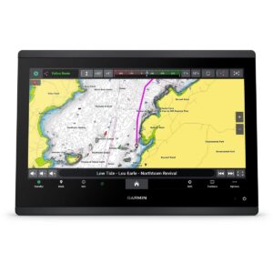
Depth Range Shading for up to 10 ranges allows users to quickly identify target depths, and 1-foot contours provide precise depictions of underwater structures, enhancing fishing charts and safe passage through shallow areas, canals, and harbors. Shallow Water Shading allows for user-defined depth highlighting. Garmin Auto Guidance technology calculates suggested routes based on your boat’s dimensions, providing safe and efficient navigation paths.
The Garmin BlueChart G3 Vision VAF453S Indian Ocean Charts offer worldwide coverage and are compatible with chartplotters that support microSD/SD cards. The package includes both a microSD card and an SD card adapter for easy installation. With BlueChart g3 Vision, mariners experience the most realistic charting display available, combining advanced 3-D views, relief shading, satellite imagery, and aerial photos to navigate with confidence.
FEATURES
- Integrated Garmin and Navionics content
- Auto Guidance¹ technology
- Depth range shading
- Up to 1′ contours
- Shallow water shading
- Raster cartography²
- High-resolution relief shading
- Unique 3-D views
- High-resolution satellite imagery
- Aerial photos
Only logged in customers who have purchased this product may write a review.


Reviews
There are no reviews yet.