
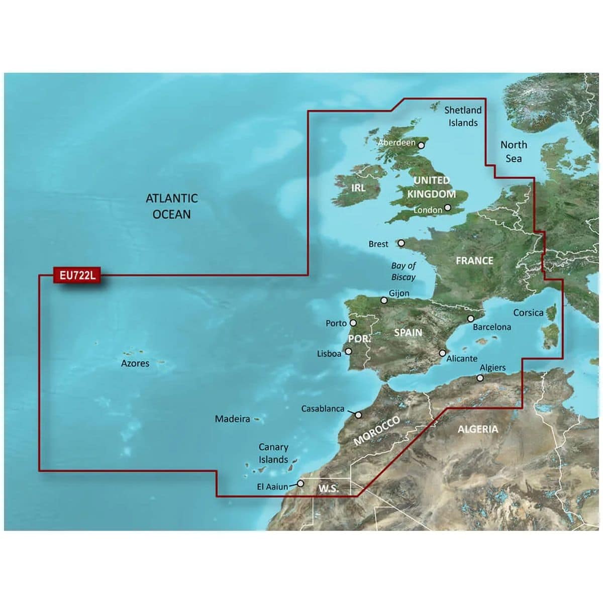
Garmin BlueChart G3 Vision VEU722L Europe Atlantic Coast Charts
R9,899
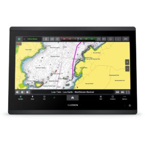
The Garmin BlueChart G3 Vision VEU722L Europe Atlantic Coast Charts deliver premium navigation along the Europe Atlantic Coast with industry-leading coverage, clarity, and detail.
Description
The Garmin BlueChart G3 Vision VEU722L Europe Atlantic Coast Charts deliver premium navigation along the Europe Atlantic Coast with industry-leading coverage, clarity, and detail. These advanced coastal charts integrate Garmin and Navionics® content to provide comprehensive navigational aids, depth contours, tides and currents, and detailed harbor and marina data.
With Garmin Auto Guidance¹ technology, you can select a destination, and the system quickly calculates a suggested route based on your boat’s dimensions, desired depth, and overhead clearance, showing a safe path around nearby obstacles. Depth Range Shading for up to 10 ranges allows you to easily identify target depths, while Shallow Water Shading highlights user-defined shallow areas to avoid. The charts feature 1-foot contours for precise depiction of underwater structures, improving fishing charts and navigation in shallow waters, canals, and ports.
BlueChart g3 Vision adds high-resolution relief shading that combines color and shadow for an intuitive view of the seafloor, making it easier to locate artificial reefs, underwater shelves, and other key features. Unique 3-D perspectives, including FishEye and MarinerEye views, provide detailed representations above and below the waterline, allowing mariners to visualize the surrounding environment in three dimensions.
High-resolution satellite imagery overlaid with charts provides realistic situational awareness, and aerial photography delivers exceptional detail of ports, marinas, and navigational landmarks, ideal for entering unfamiliar harbors. Designed for microSD/SD-compatible chartplotters, the package includes a microSD card and SD card adapter for easy installation. Garmin BlueChart G3 Vision VEU722L combines cutting-edge technology, 3-D visualization, and satellite imagery to ensure safe, confident navigation along the Atlantic Coast of Europe.
FEATURES
- Integrated Garmin and Navionics content
- Auto Guidance¹ technology
- Depth range shading
- Up to 1′ contours
- Shallow water shading
- Raster cartography²
- High-resolution relief shading
- Unique 3-D views
- High-resolution satellite imagery
- Aerial photos
Only logged in customers who have purchased this product may write a review.

Reviews
There are no reviews yet.