
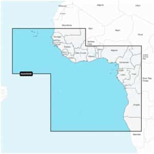
Garmin Navionics+ NAAF005R West Africa Marine Charts
R3,599
Garmin Navionics+ NAAF005R West Africa Marine Charts deliver an integrated mapping experience designed for a wide range of compatible chartplotters, providing clear and reliable coverage across both coastal and inland waters.
Description
Garmin Navionics+ NAAF005R West Africa Marine Charts
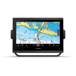
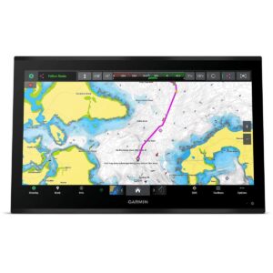
Garmin Navionics+ NAAF005R West Africa Marine Charts deliver an integrated mapping experience designed for a wide range of compatible chartplotters, providing clear and reliable coverage across both coastal and inland waters. This comprehensive, all-in-one solution brings together detailed coastal features, inland lakes, rivers and more, making it ideal for navigating throughout West Africa with confidence and precision. Navionics+ combines advanced guidance technology with the flexibility to tailor chart views according to your needs, ensuring you see the information that matters most.
Users can customise their map view by selecting different chart layers or overlay combinations, highlighting shallow areas, adjusting contour density or setting a specific fishing range. Up to 1′ contours offer enhanced detail for fishing, swamps, canals, harbours, marinas and general navigation. Daily chart enhancements ensure continuously evolving accuracy, with thousands of updates applied globally. Through the Navionics chart installer, charts can be kept current throughout the included subscription period, which also supports new downloadable content.
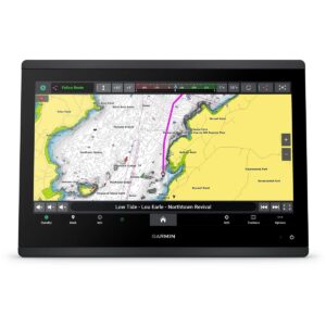
Advanced route guidance technology uses boat settings, chart data and commonly travelled routes to generate suggested dock-to-dock navigation paths. Community edits contributed by Navionics Boating app users add valuable local insights, including markers, recommendations and hazard notes. Wireless connectivity through Plotter Sync enables the transfer of routes, markers and sonar logs between your mobile device and chartplotter card while also offering the ability to update charts or manage subscription status.
SonarChart™ Live mapping lets users create real-time 1’ HD bathymetry maps as they move across the water, offering continuously developing underwater detail. For enhanced situational awareness, premium Navionics Platinum+™ features can be added. These include high-resolution relief shading for a clearer interpretation of underwater structure, sonar imagery showing bottom-hardness transitions, high-resolution satellite imagery for realistic environmental viewing and crystal-clear aerial photos of ports, marinas, bridges and navigational landmarks. Unique 3D views provide additional perspective both above and below the surface, supporting safer navigation in unfamiliar or complex environments.
Garmin Navionics+ NAAF005R offers robust, detail-rich mapping with flexibility, daily updates and advanced visual enhancements — an excellent choice for navigating West African coastal and inland waters. Your purchase includes charts, maps and any content downloaded during the included one-year subscription period. An active subscription is required to continue accessing new content such as daily updates after the one year ends.
FEATURES
- Navigate with our best offshore and inland lake coverage for your compatible chartplotter1.
- See it your way. Customize your view with various chart layers and overlay combinations.
- With your included 1-year subscription, access daily updates via the Navionics® chart installer software.
- Advanced route guidance technology lets you navigate with suggested dock-to-dock routings.
- Selectable map options let you highlight shallow areas, adjust contour density or select a fishing range.
- Save money — while continuing to access daily updates plus new content downloads — by renewing your subscription.
Only logged in customers who have purchased this product may write a review.


Reviews
There are no reviews yet.