

Garmin BlueChart G3 Western Africa Coastal Charts
R3,799
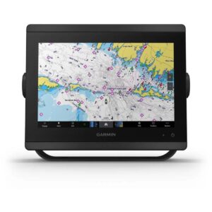
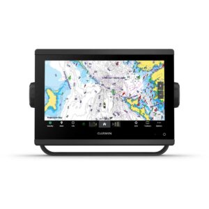
The Garmin BlueChart G3 Western Africa Coastal Charts provide advanced navigational detail for safe and confident boating along the Western African coastline.
Description
The Garmin BlueChart G3 Western Africa Coastal Charts provide advanced navigational detail for safe and confident boating along the Western African coastline. Delivered on an SD card, these charts combine official sources with private data to offer comprehensive navigational aids, spot soundings, depth contours, tidal and current information, and detailed layouts of harbors and marinas. They are designed for mariners seeking precise guidance when navigating coastal waters, rivers, and shallow port areas.
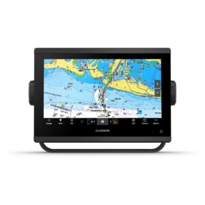
Featuring Depth Range Shading for up to 10 depth ranges, the charts allow you to quickly identify your target depth at a glance. Detailed 1-foot contour lines provide an accurate depiction of underwater structures, improving fishing chart accuracy and navigation in swamps, canals, and harbors. The Shallow Water Shading feature allows for user-defined depth shading to highlight areas that require extra caution.
BlueChart G3 offers worldwide coverage and is compatible with devices that have a microSD/SD card slot. To explore and plan routes on a computer, BaseCamp™ software can be used. While reduced-price map updates are not available, purchasing the latest card ensures up-to-date chart data. The package includes both a microSD card and an SD card adapter, providing flexible compatibility and advanced chart detail for confident navigation.
FEATURES
- Integrated Garmin and Navionics content
- Auto Guidance¹ technology
- Depth range shading
- Up to 1′ contours
- Shallow water shading
- Raster cartography
Only logged in customers who have purchased this product may write a review.

Reviews
There are no reviews yet.