
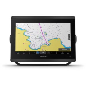
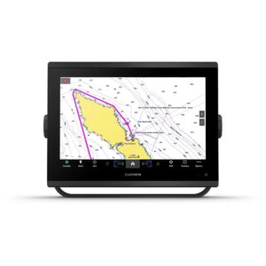
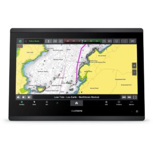
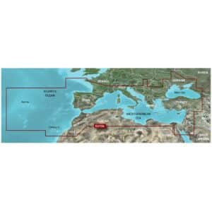
Garmin BlueChart G3 Vision VEU723L Southern Europe Charts
R9,899
The Garmin BlueChart g3 Vision VEU723L charts deliver premium navigation for Southern Europe with industry-leading coverage, clarity, and detail.
Description
Garmin BlueChart G3 Vision VEU723L Southern Europe Charts
The Garmin BlueChart g3 Vision VEU723L charts deliver premium navigation for Southern Europe with industry-leading coverage, clarity, and detail. These advanced coastal charts integrate Garmin and Navionics® content to provide comprehensive navigational aids, depth contours, tides and currents, and detailed harbor and marina information.
Garmin Auto Guidance¹ technology allows you to select a destination, and the system quickly calculates a suggested route based on your boat’s dimensions, desired depth, and overhead clearance. Depth Range Shading for up to 10 ranges makes it easy to identify your target depth, while Shallow Water Shading highlights shallow areas to avoid. The charts feature 1-foot contours for precise depiction of underwater structures, improving fishing charts and navigation in swamps, canals, and ports.
BlueChart g3 Vision adds high-resolution relief shading, combining color and shadow to provide an intuitive view of the seafloor, making it easier to locate artificial reefs, underwater shelves, and other key features. Unique 3-D perspectives, including FishEye and MarinerEye views, provide detailed visualizations both above and below the waterline.
High-resolution satellite imagery overlaid with charts gives realistic situational awareness, and aerial photography offers exceptional detail of ports, harbors, and navigational landmarks, ideal for navigating unfamiliar areas. Designed for microSD/SD-compatible chartplotters, the package includes a microSD card and SD card adapter for convenient installation. BlueChart g3 Vision VEU723L combines advanced 3-D visualization, satellite imagery, and Auto Guidance to ensure safe, confident navigation along the Southern European coastline.
FEATURES
- Integrated Garmin and Navionics content
- Auto Guidance¹ technology
- Depth range shading
- Up to 1′ contours
- Shallow water shading
- Raster cartography²
- High-resolution relief shading
- Unique 3-D views
- High-resolution satellite imagery
- Aerial photos
Only logged in customers who have purchased this product may write a review.


Reviews
There are no reviews yet.