
Garmin BlueChart G3 Vision Southern Africa Coastal And Inland Charts
R6,599
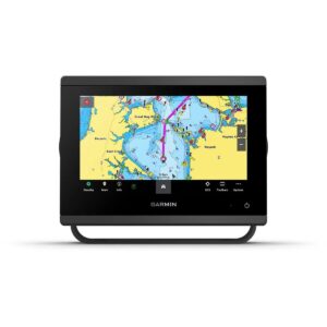
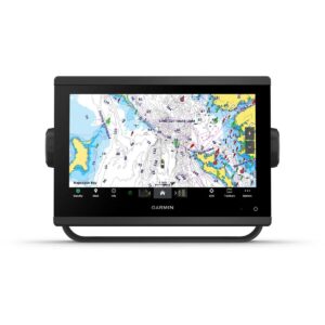
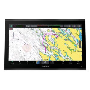
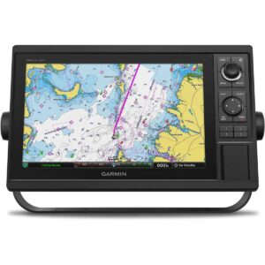
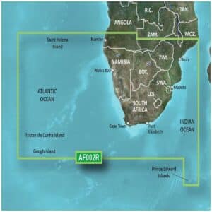
Garmin BlueChart g3 Vision Southern Africa and Inland Charts provide highly detailed navigation for mariners along Southern Africa’s coastlines and inland waterways.
Description
Garmin BlueChart G3 Vision Southern Africa Coastal and Inland Charts
Garmin BlueChart g3 Vision Southern Africa and Inland Charts provide highly detailed navigation for mariners along Southern Africa’s coastlines and inland waterways. The microSD/SD card charts combine official and private sources to offer essential navigation aids, spot soundings, depth contours, tides, currents, and detailed harbor and marina information.
With BlueChart g3 Vision, you gain high-resolution relief shading, unique 3-D views, high-resolution satellite imagery, and aerial photos to visualize your surroundings like never before. Depth Range Shading for up to 10 ranges allows you to view target depths at a glance, while 1-foot contours deliver precise bottom structure for improved fishing and navigation in shallow ports, canals, and swamps. Shallow Water Shading provides depth alerts for added safety.
These charts support worldwide coverage and require a device with a microSD/SD card slot. For route planning and desktop viewing, Garmin BaseCamp™ can be used. The package includes a microSD card and SD card adapter, offering enhanced navigational detail for safe and confident voyages.
FEATURES
- Integrated Garmin and Navionics content
- Auto Guidance¹ technology
- Depth range shading
- Up to 1′ contours
- Shallow water shading
- Raster cartography²
- High-resolution relief shading
- Unique 3-D views
- High-resolution satellite imagery
- Aerial photos
Only logged in customers who have purchased this product may write a review.


Reviews
There are no reviews yet.