
Garmin Navionics+ NAEU643L Mediterranean & Black Sea Marine Charts
R5,499
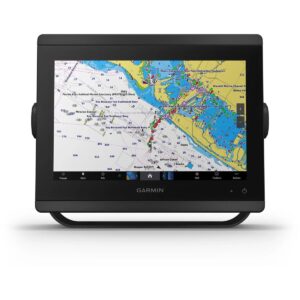
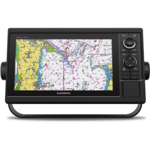
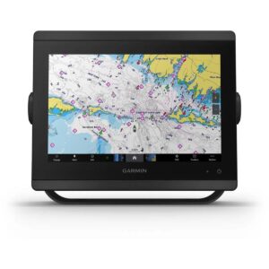
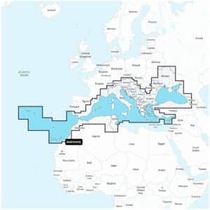
Garmin Navionics+ NAEU643L Mediterranean & Black Sea Marine Charts offer an all-in-one mapping solution for a wide range of compatible chartplotters. These charts provide extensive coastal and inland coverage across the Mediterranean and Black Sea regions, combining detailed cartography with advanced navigation features to support confident route planning on both offshore and inland waters.
Description
Garmin Navionics+ NAEU643L Mediterranean & Black Sea Marine Charts
Garmin Navionics+ NAEU643L Mediterranean & Black Sea Marine Charts offer an all-in-one mapping solution for a wide range of compatible chartplotters. These charts provide extensive coastal and inland coverage across the Mediterranean and Black Sea regions, combining detailed cartography with advanced navigation features to support confident route planning on both offshore and inland waters. Integrated mapping includes clear coastal outlines, lakes, rivers and key marine structures, giving boaters, anglers and cruisers access to reliable and comprehensive chart content.
With the included one-year subscription, users can access thousands of daily chart updates through the Navionics chart installer, ensuring they always benefit from the latest amended data. These updates include enhanced depth contours, coastline revisions, updated navigational aids, new points of interest and additional inland water details. Dock-to-dock route guidance uses your boat settings alongside chart data and commonly travelled paths to suggest routes that simplify movement between marinas, ports and anchorages.
Up to 1’ contours deliver high-detail bottom structure for better decision-making in shallow areas, swamps, canals, harbours and marinas, while also supporting anglers by providing clearly defined underwater features. Selectable map options allow you to highlight shallow zones, adjust contour density or specify a fishing depth range for enhanced situational awareness. Community edits contributed by Navionics Boating app users add locally sourced knowledge that can be viewed on compatible chartplotters, including notes, recommended spots and user-added markers.
Plotter Sync enables wireless data transfer between your chartplotter card and the mobile app, allowing you to update charts, move markers, import routes and upload sonar logs. SonarChart™ Live creates new 1’ HD bathymetry in real time as you travel, offering personalised underwater mapping tailored to your actual path.
Additional premium features are available with Navionics Platinum+™. High-resolution relief shading combines colour and shadow to provide a clearer view of underwater terrain. Sonar imagery highlights bottom hardness and transition areas, while high-resolution satellite imagery provides a realistic depiction of the surrounding landscape for improved orientation in unfamiliar locations. Aerial photographs offer detailed views of ports, bridges, ramps and marinas, and unique 3D views give additional perspective both above and below the waterline.
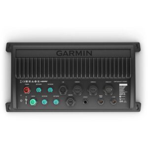
Garmin Navionics+ NAEU643L comes on a microSD™/SD™ card and includes charts, maps and any content downloaded during the one-year subscription period. An active subscription is required to continue using new updates and additional downloadable content after the first year.
FEATURES
- Navigate with our best offshore and inland lake coverage for your compatible chartplotter.
- See it your way. Customize your view with various chart layers and overlay combinations.
- With your included 1-year subscription, access daily updates via the Navionics® chart installer software.
- Advanced route guidance technology lets you navigate with suggested dock-to-dock routings.
- Selectable map options let you highlight shallow areas, adjust contour density or select a fishing range.
- Save money — while continuing to access daily updates plus new content downloads — by renewing your subscription.
Only logged in customers who have purchased this product may write a review.


Reviews
There are no reviews yet.