
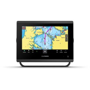
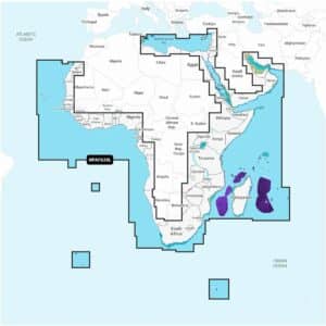
Garmin Navionics+ Platinum+ NPAF630L Africa & Middle East Marine Charts
R7,699
Garmin Navionics+ Platinum+ NPAF630L Africa & Middle East Marine Charts offer a complete navigation solution for a wide range of compatible chartplotters, providing detailed coastal and inland mapping alongside advanced guidance features.
Description
Garmin Navionics+ Platinum+ NPAF630L Africa & Middle East Marine Charts
Garmin Navionics+ Platinum+ NPAF630L Africa & Middle East Marine Charts offer a complete navigation solution for a wide range of compatible chartplotters, providing detailed coastal and inland mapping alongside advanced guidance features. Covering Africa and the Middle East, these charts deliver reliable information for offshore navigation, fishing, and river exploration.
With an included one-year subscription, you gain access to daily updates via the Navionics chart installer software, keeping your charts current with the latest bathymetry, navigational changes, and community-sourced insights. Advanced dock-to-dock route guidance calculates suggested paths from dock to dock using your boat settings, chart data, and frequently traveled routes for precise navigation.
Up to 1’ contours provide accurate bottom structure for fishing and navigation, while advanced map options let you highlight shallow areas, adjust contour density, or select a fishing range. Community edits from the Navionics Boating app provide local knowledge viewable on your chartplotter, enhancing situational awareness.
Plotter Sync enables wireless transfer of routes, markers, chart updates, and sonar logs between your chartplotter and mobile device. SonarChart™ Live mapping allows creation of real-time HD bathymetry maps as your boat moves through the water.
Platinum+ features enhance your experience further: high-resolution relief shading combines color and shadow for a clear depiction of underwater terrain; downloadable sonar imagery highlights bottom hardness and transition areas; high-resolution satellite imagery provides realistic overhead views; aerial photography shows ports, marinas, docks, boat ramps, bridges, dams, and landmarks; and 3D views offer perspectives above and below the water’s surface for improved awareness.
Garmin Navionics+ Platinum+ NPAF630L comes on a microSD™/SD™ card and includes all charts and content downloaded during the one-year subscription. An active subscription is required to continue accessing daily updates and new content beyond the included year.
FEATURES
- Navigate with our best offshore and inland lake coverage for your compatible chartplotter.
- See it your way. Customize your view with various chart layers and overlay combinations.
- With your included 1-year subscription, access daily updates via the Navionics® chart installer software.
- Advanced route guidance technology lets you navigate with suggested dock-to-dock routings.
- Selectable map options let you highlight shallow areas, adjust contour density or select a fishing range.
- Save money — while continuing to access daily updates plus new content downloads — by renewing your subscription.
Only logged in customers who have purchased this product may write a review.


Reviews
There are no reviews yet.