
Garmin Navionics+ Vision+ NVAF004R Northwest Africa Marine Charts
R5,499
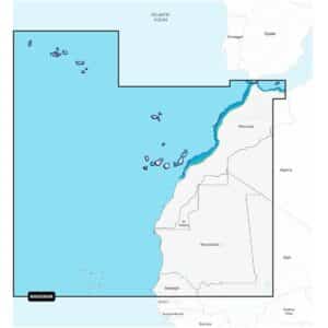
Navigate Northwest Africa’s coastal and inland waters with confidence using the Garmin Navionics+ Vision+ NVAF004R Northwest Africa Marine Charts.
Description
Garmin Navionics+ Vision+ NVAF004R Northwest Africa Marine Charts
Navigate Northwest Africa’s coastal and inland waters with confidence using the Garmin Navionics+ Vision+ NVAF004R Northwest Africa Marine Charts. Delivered on a microSD™/SD™ card, this premium mapping solution includes a one-year subscription, providing daily chart updates and new content downloads. Continued access to updates requires an active subscription after the first year.
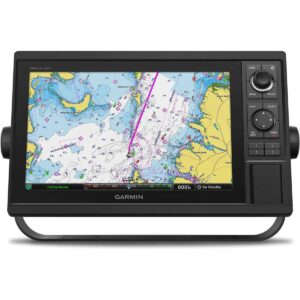
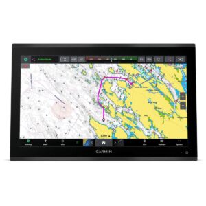
These charts feature a vibrant, streamlined interface with combined coastal and inland content in the popular Navionics® color palette, making navigation intuitive and visually clear. Auto Guidance+™ technology calculates suggested dock-to-dock routes, assisting you through channels, inlets, marina entrances, and other waterways. Customize your view with multiple chart layers and overlay options to suit your navigation needs, whether fishing, cruising, or exploring new areas.
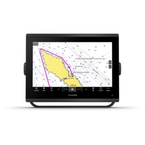
High-resolution Depth Range Shading allows selection of up to 10 color-shaded target depths, ideal for locating prime fishing spots. Up to 1-foot contours provide detailed underwater structure for safer navigation, while Shallow Water Shading highlights areas to avoid. High-resolution relief shading combines color and shadow for an easy-to-interpret view of the seafloor. Downloadable satellite imagery and aerial photos provide superior situational awareness above the waterline.
Advanced 3D views, including FishEye and MarinerEye, deliver realistic perspectives both below and above the waterline. Dynamic Lake Level adjustment lets you see current water levels and determine accessibility. The ActiveCaptain® community adds valuable local insights, including marinas, anchorages, hazards, and other points of interest.
The Garmin Navionics+ Vision+ NVAF004R charts deliver a complete, high-detail mapping solution for safe and enjoyable navigation across Northwest Africa, combining up-to-date data, premium features, and enhanced visualization above and below the waterline.
FEATURES
- Navigate with our best offshore and inland lake coverage for your Garmin chartplotter.
- See it your way. Customize your view with various chart layers and overlay combinations.
- With your included one-year subscription, access daily updates via the ActiveCaptain® smart-device app.
- Auto Guidance+™ technology2 lets you navigate with suggested dock-to-dock routings.
- Select up to 10 color-shaded target depth ranges to scope out the best fishing spots.
- Save money by renewing your subscription — and continue accessing daily updates plus
Only logged in customers who have purchased this product may write a review.


Reviews
There are no reviews yet.