
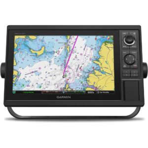
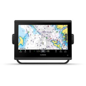
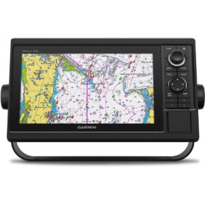
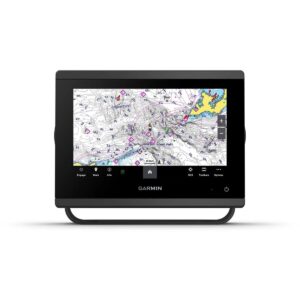
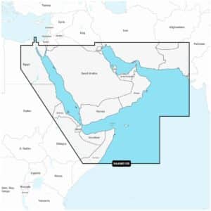
Garmin Navionics+ NAAW010R The Gulf & Red Sea Marine Charts
R3,599
Garmin Navionics+ NAAW010R The Gulf & Red Sea Marine Charts deliver an integrated mapping solution designed for a wide range of compatible chartplotters, combining clear coastal and inland detail with advanced guidance features.
Description
Garmin Navionics+ NAAW010R The Gulf & Red Sea Marine Charts
Garmin Navionics+ NAAW010R The Gulf & Red Sea Marine Charts deliver an integrated mapping solution designed for a wide range of compatible chartplotters, combining clear coastal and inland detail with advanced guidance features. This comprehensive, all-in-one mapping option provides reliable offshore and inland lake coverage across the Gulf and Red Sea regions, allowing boaters to navigate confidently with customisable views and precise chart detail. Multiple chart layers and overlay combinations make it simple to tailor the display to your navigation style, fishing approach or situational preferences.
Daily updates ensure continuously evolving accuracy, with thousands of worldwide chart amendments made each day. The included one-year subscription enables access to these updates through the Navionics chart installer software, ensuring up-to-date mapping and new downloadable content. Advanced dock-to-dock route guidance uses vessel settings, chart data and frequently travelled routes to calculate suggested paths, providing intuitive navigation from departure to destination. Up to 1’ contours offer superior bottom-structure clarity, improving detail in canals, harbours, swamps, marinas and fishing areas.
Selectable map options allow users to highlight shallow waters, adjust contour density or choose a targeted fishing depth range. Community edits submitted by Navionics Boating app users add valuable local insights, including markers, notes and area-specific information that can be viewed on compatible chartplotters. Plotter Sync supports wireless transfer of routes, markers, sonar logs and chart updates between the chartplotter card and mobile app while also allowing subscription activation or renewal.
With SonarChart™ Live mapping, boaters can create new 1’ HD bathymetry maps in real time while navigating, generating detailed underwater contours personalised to their on-water activity. Additional advanced capabilities are available with Navionics Platinum+™ enhancements, including high-resolution relief shading for improved interpretation of underwater formations, sonar imagery showing bottom-hardness variations, downloadable high-resolution satellite imagery for realistic visual reference and detailed aerial photography of marinas, bridges, ports, ramps and other surface landmarks. Unique 3D views add further perspective both above and below the water, enhancing situational awareness in unfamiliar locations.
Garmin Navionics+ NAAW010R provides detailed, flexible and continuously updated mapping for the Gulf and Red Sea, supporting safe and informed navigation across diverse waterways. Your purchase includes charts, maps and any content downloaded during the included one-year subscription period. An active subscription is required to continue accessing new content such as daily updates once the one-year term ends.
FEATURES
- Navigate with our best offshore and inland lake coverage for your compatible chartplotter1.
- See it your way. Customize your view with various chart layers and overlay combinations.
- With your included 1-year subscription, access daily updates via the Navionics® chart installer software.
- Advanced route guidance technology lets you navigate with suggested dock-to-dock routings.
- Selectable map options let you highlight shallow areas, adjust contour density or select a fishing range.
- Save money — while continuing to access daily updates plus new content downloads — by renewing your subscription.
Only logged in customers who have purchased this product may write a review.


Reviews
There are no reviews yet.