
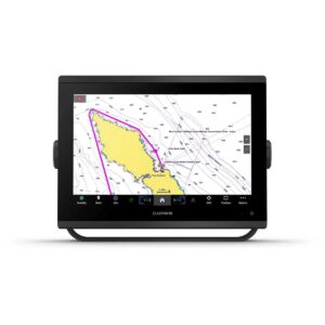
Garmin Navionics+ Platinum+ NPAF002R South Africa Marine Charts
R5,499
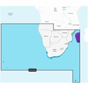
Garmin Navionics+ Platinum+ NPAF002R South Africa Marine Charts deliver a premium mapping experience for a wide range of compatible chartplotters, combining detailed coastal and inland lake content with advanced navigation tools.
Description
Garmin Navionics+ Platinum+ NPAF002R South Africa Marine Charts
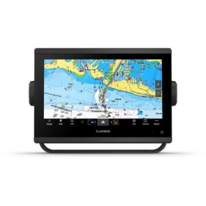
Garmin Navionics+ Platinum+ NPAF002R South Africa Marine Charts deliver a premium mapping experience for a wide range of compatible chartplotters, combining detailed coastal and inland lake content with advanced navigation tools. Covering the South African coastline and inland waters, these charts provide the precision and clarity required for safe navigation, whether sailing along rugged coasts, exploring estuaries, or fishing in lakes and rivers.
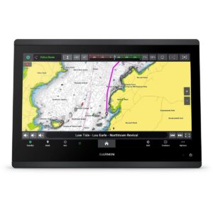
The included one-year subscription provides daily chart updates through the Navionics chart installer software, ensuring your maps remain accurate with new depth readings, navigational adjustments, and community contributions. Advanced dock-to-dock route guidance calculates suggested routes using your boat settings, chart data, and frequently traveled paths, simplifying planning and navigation.
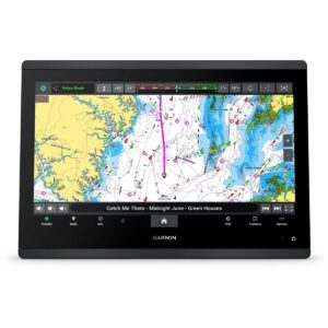
Up to 1’ contours display precise underwater structures, improving both fishing experiences and safe navigation through shallow areas, channels, marinas, and river mouths. Advanced map options allow users to highlight shallow waters, adjust contour density, or select fishing ranges. Community edits via the Navionics Boating app provide real-world local knowledge, including hazards, anchorages, and other key insights, visible directly on compatible chartplotters.
Plotter Sync enables wireless transfer of routes, markers, chart updates, and sonar logs between your chartplotter and mobile device. SonarChart™ Live allows real-time creation of high-definition 1’ bathymetry maps as you move, providing personalized underwater mapping.
Platinum+ features enhance navigation further: high-resolution relief shading blends color and shadow for a clear view of underwater topography; downloadable sonar imagery highlights bottom hardness and transition areas; high-resolution satellite imagery gives realistic overhead views of coasts and ports; aerial photography shows ports, marinas, docks, ramps, bridges, and navigational landmarks above the waterline; and 3D views provide perspectives both above and below the water surface for superior situational awareness.
Navionics Platinum+ NPAF002R comes on a microSD™/SD™ card and includes all chart content downloaded during the one-year subscription period. Active subscription is required to continue receiving daily updates and premium content beyond the first year.
FEATURES
- Navigate with our best offshore and inland lake coverage for your compatible chartplotter.
- See it your way. Customize your view with various chart layers and overlay combinations.
- With your included 1-year subscription, access daily updates via the Navionics® chart installer software.
- Advanced route guidance technology lets you navigate with suggested dock-to-dock routings.
- Selectable map options let you highlight shallow areas, adjust contour density or select a fishing range.
- Save money — while continuing to access daily updates plus new content downloads — by renewing your subscription.
Only logged in customers who have purchased this product may write a review.


Reviews
There are no reviews yet.