Garmin stands as a global leader in GPS navigation and marine electronics, trusted by anglers and mariners worldwide. Specializing in advanced fish finders, high-definition chartplotters, and powerful sonar systems, Garmin integrates pioneering technology with user-friendly interfaces to deliver unparalleled clarity and precision on the water, available at XtremeMarine Watersports & Boating Shop.
Showing 61–115 of 115 resultsSorted by price: high to low
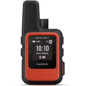
The Garmin inReach Mini 2 is a compact satellite communicator that keeps you connected to loved ones and emergency services when you’re off the grid. Ideal for boating, hiking, or remote adventures, it provides global satellite coverage so you can send and receive messages, share your location, and request help even where mobile phones can’t reach.
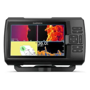
The Garmin STRIKER Vivid 7sv GPS Fishfinder is a 7-inch fishfinder designed to provide anglers with detailed and clear views of fish and underwater structures. Featuring a high-sensitivity GPS, it allows you to mark waypoints, create routes, and view your boat’s speed, making navigation simple and helping you return to productive fishing spots with ease.
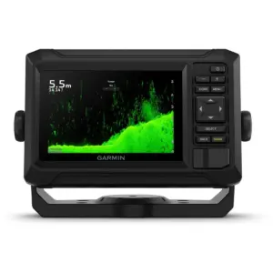
The Garmin ECHOMAP UHD2 52cv Chartplotter (010-02589-00) is a compact yet powerful 5″ marine chartplotter designed for anglers who want clear sonar, fast operation and premium mapping — all without unnecessary complexity. The bright, sunlight-readable keyed display provides a crisp viewing experience, making it easy to navigate menus, view sonar returns and track your position on the water.
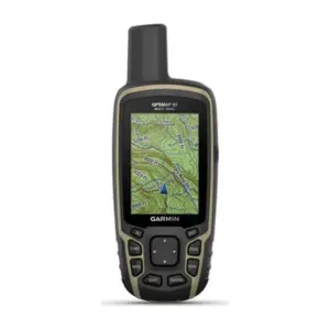
Navigate with a dedicated outdoor GPS on trails, remote trips and shore-based adventures. Garmin GPSMAP 65 keeps route information close at hand in a portable device.
The Garmin GPSMAP 79s Handheld Marine GPS is built for life on the water, offering a rugged, floating design you can trust in unpredictable conditions. Its IPX7 water-resistant construction, scratch-resistant glass and fogproof display ensure durability and visibility even in bright sunlight.
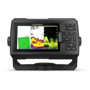
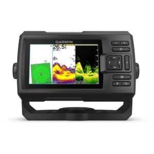
The Garmin STRIKER Vivid 5cv GPS Fishfinder is a powerful 5-inch fishfinder that allows anglers to see fish and underwater structures in exceptional detail. Featuring a high-sensitivity GPS, this fishfinder enables you to mark waypoints, create routes, and view your boat’s speed, making it easier to navigate and return to productive fishing spots.
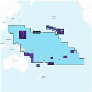
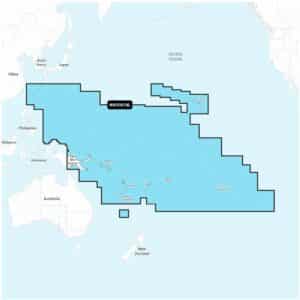
Garmin Navionics+ Platinum+ NPPC014L Pacific Islands Marine Charts deliver a complete mapping solution for a wide range of compatible chartplotters, offering highly detailed coastal and inland navigation information.
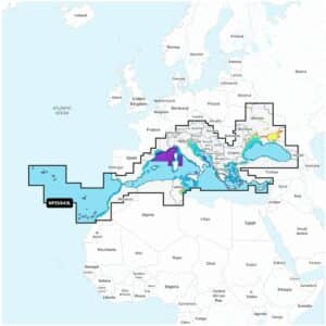
Garmin Navionics+ Platinum+ NPEU643L Mediterranean & Black Sea Marine Charts provide a complete mapping solution for a wide range of compatible chartplotters, delivering detailed and reliable coastal and inland navigation information.
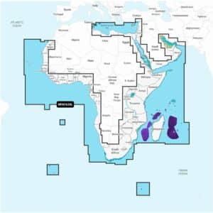
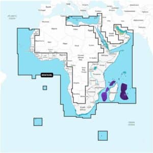
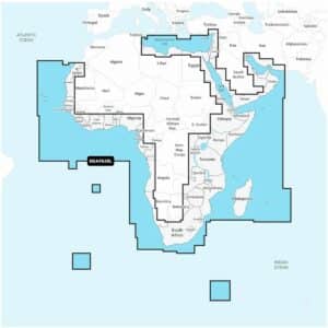
Garmin Navionics+ Platinum+ NPAF630L Africa & Middle East Marine Charts offer a complete navigation solution for a wide range of compatible chartplotters, providing detailed coastal and inland mapping alongside advanced guidance features.
The Garmin Navionics+ Vision+ NVAF630L Africa & Middle East Marine Charts deliver premium cartography on a microSD™/SD™ card with a one-year subscription included.
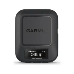
Take satellite communication with you on remote trips. Garmin inReach Messenger offers a portable way to keep in touch beyond mobile coverage; an active satellite subscription is required for inReach services.
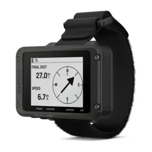
Navigate with a dedicated outdoor GPS on trails, remote trips and shore-based adventures. Garmin Foretrex 801, Wrist-mounted GPS Navigator with Strap keeps route information close at hand in a portable device.
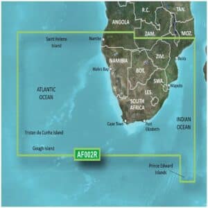
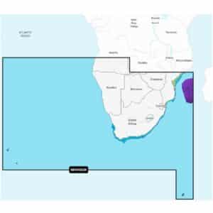
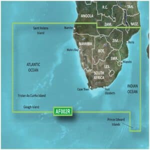
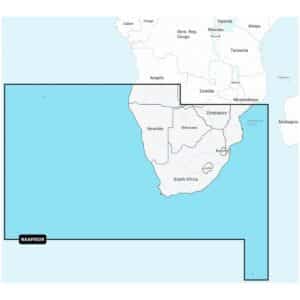
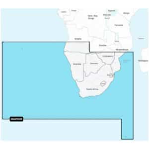
Garmin BlueChart g3 Vision Southern Africa and Inland Charts provide highly detailed navigation for mariners along Southern Africa’s coastlines and inland waterways.
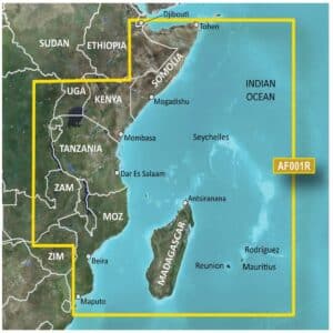
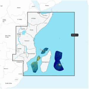
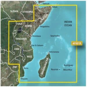
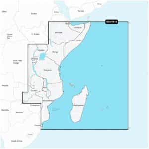
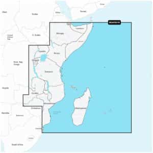
The Garmin BlueChart g3 Vision Eastern Africa Coastal and Inland Charts provide advanced navigation for mariners exploring the Eastern African coastline and inland waters.
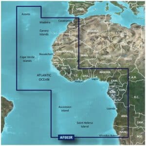
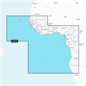
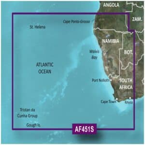
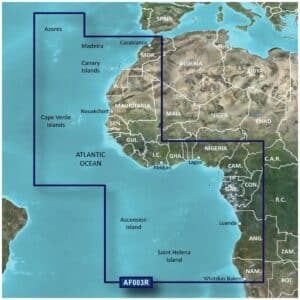
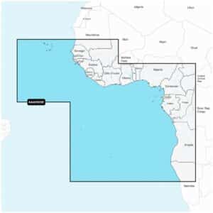
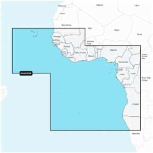
The Garmin BlueChart G3 Vision Western Africa Coastal Charts are designed for mariners seeking advanced navigation along the Western African coastline.
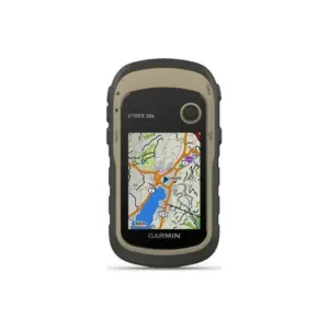
Navigate with a dedicated outdoor GPS on trails, remote trips and shore-based adventures. Garmin eTrex 32x keeps route information close at hand in a portable device.
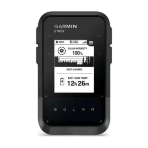
Navigate with a dedicated outdoor GPS on trails, remote trips and shore-based adventures. Garmin eTrex Solar keeps route information close at hand in a portable device.
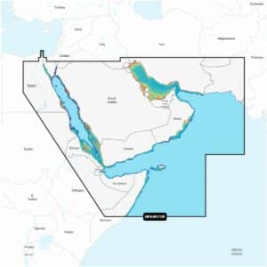
Garmin Navionics+ Platinum+ NPAW010R The Gulf & Red Sea Marine Charts provide a comprehensive navigation solution for a wide range of compatible chartplotters, offering detailed coastal and inland mapping alongside advanced guidance features.
Garmin Navionics+ Platinum+ NPAF005R West Africa Marine Charts deliver a complete navigation solution for a wide range of compatible chartplotters, offering precise coastal and inland mapping combined with advanced guidance features.
Garmin Navionics+ Platinum+ NPAF001R East Africa Marine Charts provide a comprehensive navigation solution for a wide range of compatible chartplotters, combining highly detailed coastal and inland lake mapping with advanced guidance features.
Garmin Navionics+ Platinum+ NPAF002R South Africa Marine Charts deliver a premium mapping experience for a wide range of compatible chartplotters, combining detailed coastal and inland lake content with advanced navigation tools.
Garmin Navionics+ NAEU643L Mediterranean & Black Sea Marine Charts offer an all-in-one mapping solution for a wide range of compatible chartplotters. These charts provide extensive coastal and inland coverage across the Mediterranean and Black Sea regions, combining detailed cartography with advanced navigation features to support confident route planning on both offshore and inland waters.
Garmin Navionics+ NAAF630L Africa & Middle East Marine Charts provide an advanced, all-in-one mapping solution designed for a wide range of compatible chartplotters.
Navigate South Africa’s coastal and inland waters with precision and confidence using the Garmin Navionics+ Vision+ NVAF002R South Africa Marine Charts.
Navigate Africa and the Middle East with precision using the Garmin Navionics+ NSAF630L Africa & Middle East Marine Charts. This comprehensive mapping solution comes on a microSD™/SD™ card and includes a one-year subscription for daily chart updates and new content downloads.
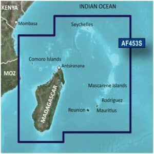
The Garmin BlueChart g3 Vision VAF453S Indian Ocean Charts provide premium navigation across the Indian Ocean, Mascarene Plateau and Madagascar. These charts combine official and private sources for accurate navigational aids, spot soundings, depth contours, tides and currents, and detailed harbors and marinas.
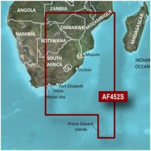
The Garmin BlueChart g3 Vision VAF452S Knysna to Beira Charts provide premium navigation along the southeastern African coast, combining official and private sources for reliable navigational aids, spot soundings, depth contours, tides and currents, and detailed harbors and marinas.
The Garmin STRIKER Vivid 5cv GPS Fishfinder is a versatile 5-inch fishfinder designed to provide anglers with clear and detailed views of fish and underwater structures. Featuring a high-sensitivity GPS, it allows you to mark waypoints, create routes, and view your boat’s speed, helping you navigate and return to productive fishing spots with ease.
Garmin Navionics+ NAPC014L Pacific Islands Marine Charts provide a comprehensive mapping solution for a wide range of compatible chartplotters, combining reliable coastal and inland content with advanced navigation tools.
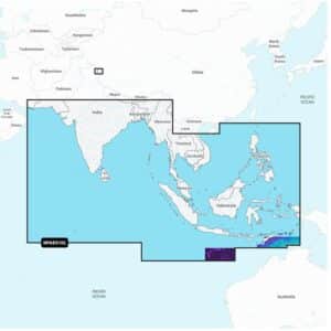
Garmin Navionics+ NAAE010L Indian Ocean & South China Sea Marine Charts deliver an all-in-one mapping solution designed for a wide range of compatible chartplotters. Covering extensive coastal and inland areas across the Indian Ocean and South China Sea, this chart package combines detailed cartography with advanced navigation features to support confident route planning for cruising, sailing and offshore fishing.
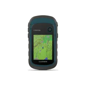
Navigate with a dedicated outdoor GPS on trails, remote trips and shore-based adventures. Garmin eTrex 22x keeps route information close at hand in a portable device.
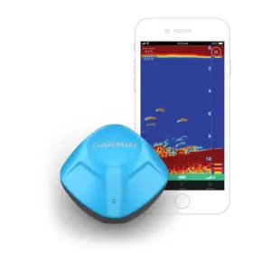
Turn a compatible smartphone into a portable fishfinder. Cast out the STRIKER Cast GPS to view sonar in the app, then use its built-in GPS to create Quickdraw contour maps—without fitting a permanent display to your boat.
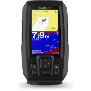
The Garmin STRIKER Vivid 4cv GPS Fishfinder is a versatile 4-inch fishfinder designed to provide anglers with clear, detailed views of fish and underwater structures. Featuring a high-sensitivity GPS, this fishfinder allows you to mark waypoints, create routes, and view your boat’s speed, ensuring you can navigate and return to productive spots with ease.
The Garmin GPS 73 Handheld Marine GPS is an easy-to-use navigation tool designed for boats, sailboats and small watercraft that may not have a chartplotter onboard. It also serves as a reliable emergency backup for any vessel, offering dependable performance on both land and water — and it floats for added peace of mind.
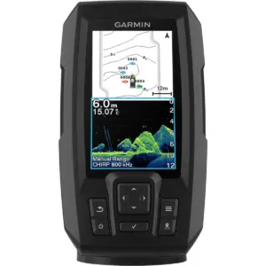
The Garmin STRIKER Plus 4 GPS Fishfinder is a compact and powerful 4.3-inch fishfinder with built-in GPS, designed to give anglers crystal-clear sonar imaging and precise navigation on the water. Featuring a dual-beam transducer with Garmin CHIRP traditional sonar, it delivers detailed images and remarkable target separation, making it easier to identify fish and underwater structures.
The Garmin BlueChart G3 Western Africa Coastal Charts provide advanced navigational detail for safe and confident boating along the Western African coastline.
The Garmin BlueChart G3 Southern Africa And Inland Charts provide advanced navigational detail for confident boating and fishing across Southern Africa’s coastal and inland waters.
The Garmin BlueChart G3 Eastern Africa Coastal and Inland Charts provide advanced navigational detail for confident boating and fishing along Eastern Africa’s waters.
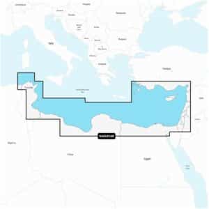
Garmin Navionics+ NAEU016R Mediterranean Sea, Southeast Marine Charts deliver a comprehensive, detail-rich mapping solution designed for a wide range of compatible chartplotters.
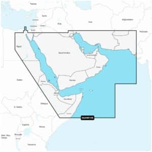
Garmin Navionics+ NAAW010R The Gulf & Red Sea Marine Charts deliver an integrated mapping solution designed for a wide range of compatible chartplotters, combining clear coastal and inland detail with advanced guidance features.
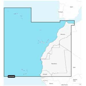
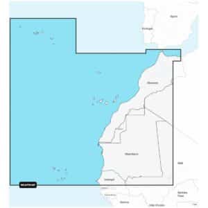
Garmin Navionics+ NAAF004R Northwest Africa Marine Charts provide an integrated mapping solution designed for a wide range of compatible chartplotters, offering clear and reliable coverage across both coastal and inland waters.
Garmin Navionics+ NAAF005R West Africa Marine Charts deliver an integrated mapping experience designed for a wide range of compatible chartplotters, providing clear and reliable coverage across both coastal and inland waters.
The Garmin Navionics+ NAAF001R East Africa Marine Charts provide a comprehensive, all-in-one mapping solution on microSD™/SD™, complete with a one-year subscription that covers all charts, maps and downloaded content.
The Garmin Navionics+ NAAF002R South Africa Marine Charts provide a comprehensive, all-in-one mapping solution on microSD™/SD™, complete with a one-year subscription that includes access to all downloaded charts, maps and content during that period.
Explore West Africa’s coastal and inland waters with the Garmin Navionics+ NSAF005R West Africa Marine Charts. This all-in-one mapping solution delivers detailed coverage of coastal features, lakes, rivers, harbors, and marinas.
Navigate Northwest Africa’s coastal and inland waters with ease using the Garmin Navionics+ NSAF004R Northwest Africa Marine Charts. This all-in-one mapping solution provides comprehensive detail of coastal features, rivers, lakes, harbors, and marinas.
Navigate South Africa’s coastal and inland waters with confidence using the Garmin Navionics+ NSAF002R South Africa Marine Charts. This complete mapping solution combines Garmin and Navionics® content to provide detailed coverage of coastal features, rivers, lakes, harbors, and marinas.
Explore the East African coastline and inland waters with confidence using the Garmin Navionics+ NSAF001R East Africa Marine Charts. This premium mapping solution combines Garmin and Navionics® content to provide comprehensive coverage of coastal features, lakes, rivers, harbors, and marinas.
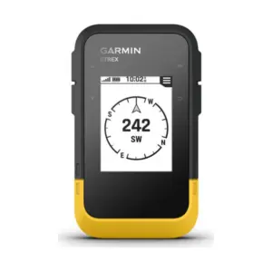
Navigate with a dedicated outdoor GPS on trails, remote trips and shore-based adventures. Garmin eTrex SE keeps route information close at hand in a portable device.
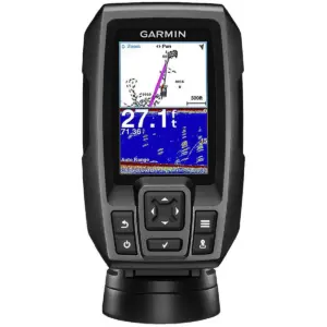
The Garmin STRIKER 4 GPS Fishfinder is a compact and easy-to-use 3.5-inch colour fishfinder designed to help anglers locate fish quickly and efficiently. Featuring a built-in high-sensitivity GPS, this fishfinder allows you to mark your favourite fishing spots, docks, and ramps and return to them with precision.
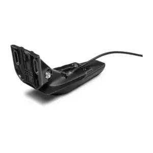
Restore traditional sonar and ClearVü scanning on a compatible Garmin fishfinder. This GT20-TM is the exact 4-pin transom-mount version—check your sonar port before choosing a replacement or adding a transducer to a display-only unit.